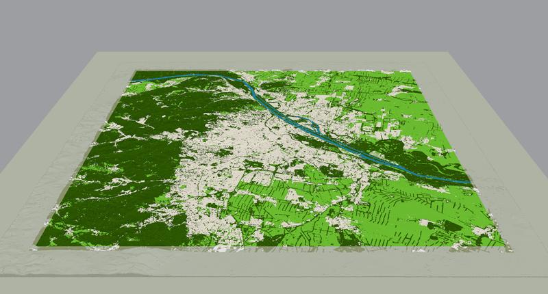
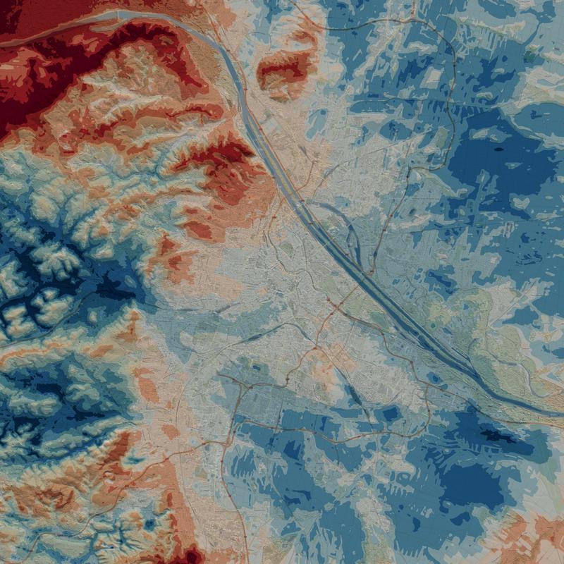
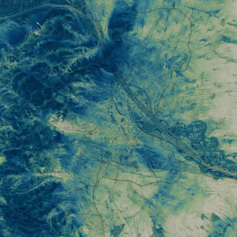
Night time cooling has become an important measure of quality of life during ever more frequent summer heat waves - especially in urban areas. Even populations of cities with the highest quality of living, like Vienna, Austria, can suffer during strong heat waves. The debilitating effects felt in areas of persistent night time heat and livable cooler areas are unevenly distributed within and around the city. Our latest model uses zonal cooling rates and simulates density gradient driven flows induced by topography inclination. In short: it gives you a detailed map of the night time cooling potential and cool air pathways.
What we offer:
City scale simulation of cooling potential and cool air layer height.
A detailed map of cool air pathways.
Decision support for urban developers based on state of the art scientific methods.
Avoiding blockage of fresh air flow into dense urban areas in early planning stages.
Enabling informed decisions for agricultural and infrastructure projects.
Transparency and data sovereignty through open source software and latest publicly available models derived from earth observation data.
Attributions, data sources and licences
OpenFOAM licence: GPLv3. http://www.gnu.org/licenses/quick-guide-gplv3.html
Produced using Copernicus WorldDEM-30 © DLR e.V. 2010-2014 and © Airbus Defence and Space GmbH 2014-2018 provided under COPERNICUS by the European Union and ESA; all rights reserved.
The activities of Rheologic GmbH are not officially endorsed by the Provider, the Licensor or any other legal entities in charge of the Copernicus programme or the delivery of Copernicus data and information under the Copernicus programme.
Generated using Copernicus Climate Change Service information.
The results contain modified Copernicus Climate Change Service information 2022. Neither the European Commission nor ECMWF is responsible for any use that may be made of the Copernicus information or data it contains.
Produced using META CHMv2. John Brandt, Seungeun Yi, Jamie Tolan, Xinyuan Li, Peter Potapov, Jessica Ertel, Justine Spore, Huy V. Vo, Michaël Ramamonjisoa, Patrick Labatut, Piotr Bojanowski, Camille Couprie: CHMv2: Improvements in Global Canopy Height Mapping using DINOv3, arXiv:2603.06382 (2026)
Produced using GBA. Zhu, X. X. and Chen, S. and Zhang, F. and Shi, Y. and Wang, Y.: GlobalBuildingAtlas: an open global and complete dataset of building polygons, heights and LoD1 3D models, Earth System Science Data 17 (2025), https://essd.copernicus.org/articles/17/6647/2025/, doi: 10.5194/essd-17-6647-2025
Using OpenStreetMap® open data, licensed under the Open Data Commons Open Database License (ODbL) by the OpenStreetMap Foundation (OSMF). https://www.openstreetmap.org/copyright
Get in contact via the form below! Feel free to write in English or German - schicken Sie uns Ihre Anfrage auch gerne auf Deutsch!